California Highway 4

Looking Southwest from CR 4 just West of Pacific Grade Summit.
posted by Roy @ 6:25 AM
0 comments
![]()
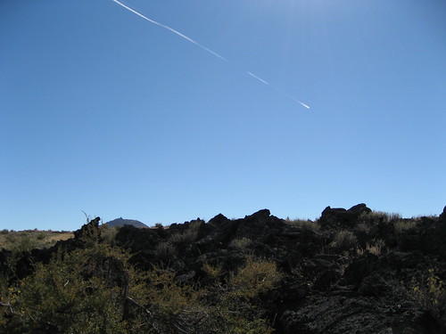
Up and Down the Foggy Avenues of my mind.
Looking Southwest from CR 4 just West of Pacific Grade Summit.
posted by Roy @ 6:25 AM
0 comments
![]()
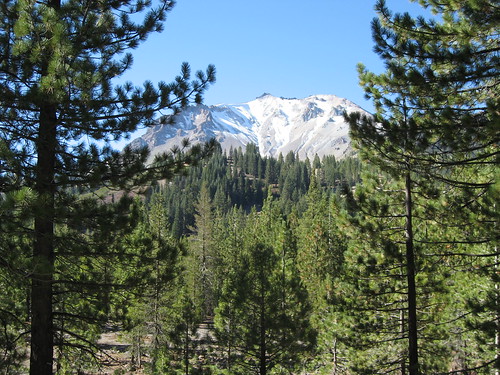
Typically excessive South Cascade scenery.
posted by Roy @ 5:07 AM
0 comments
![]()
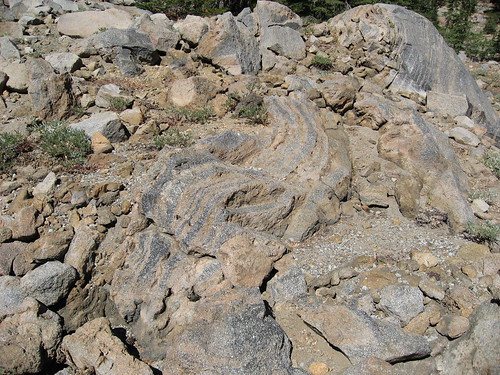
Not all my Lassen pictures turned out badly, but then some things are hard to mess up. This is flow banding on the Southeast flank of Mount Lassen. The direction of the flow is along a line running 25° NW/SE. Which since Mount Lassen is 25° NW suggests that this is the flow's point of origin.
posted by Roy @ 3:37 AM
0 comments
![]()
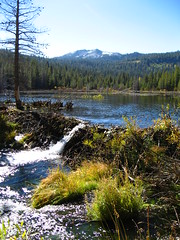
More Lassen photots, which while very pretty are kind of dull, I thought this one was one of the better ones, even though it is a little washed out. Also it gives me a chance to play with formatting.
posted by Roy @ 12:48 AM
0 comments
![]()
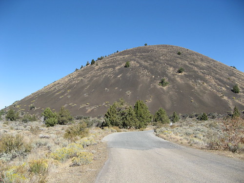
This is from about a month ago, but I was posting these to flickr tonight so I thought I'd post a sample. Sadly I think most of the Lassen pictures are overexposed, I am still figuring out how to use this digital camera. The Nevada pictures are unfortunately even worse.
posted by Roy @ 11:55 PM
0 comments
![]()
I'm usually not a fan of Victor Davis Hanson, he is too much of the crotchety old classicist, nothing good has happened since the death of Pericles and all that. And his writing on California, or "Mexifornia" often seem to be only one step from the basest nineteenth century nativism.
posted by Roy @ 5:55 PM
0 comments
![]()
I've been thinking about another driveabout, into the great basin this time, across Nevada and back again. Even though I haven't even got close to finishing my posting of my pictures from the last outing on flickr. Then I see this.
posted by Roy @ 8:58 PM
0 comments
![]()
The Song of the Dodo. by David Quammen (Scribner, 2004)
posted by Roy @ 7:48 PM
0 comments
![]()
Up and Down the Foggy Avenues of my mind.